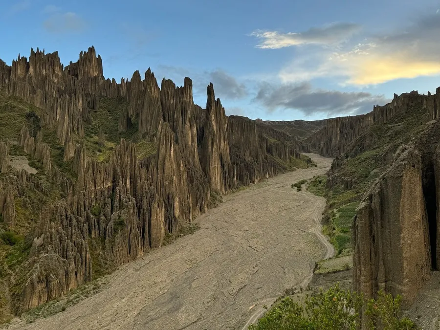
What is Valle de las Ánimas?
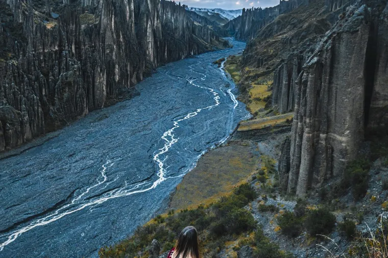
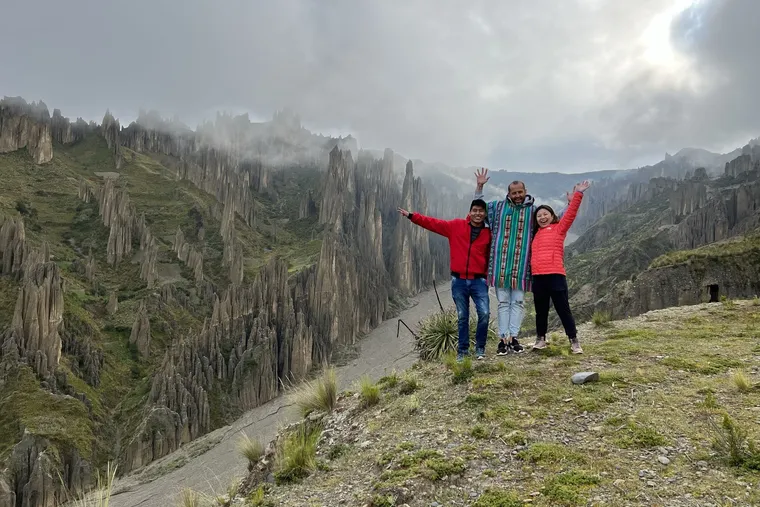
Valle de las Ánimas is a valley of eroded clay-and-sandstone spires on the south-eastern edge of La Paz, Bolivia, 22 km and about 45 minutes by car from the center. It is quieter, larger and taller than the better-known Valle de la Luna, and you can walk between the formations rather than around them.
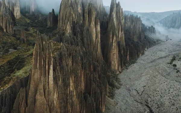
The name — “Valley of the Souls” — comes from the shapes: hundreds of needles standing close together like a crowd. The valley is big — it stretches between the communities of Ovejuyo, Chasquipampa, Uni and Palca, whose families have grazed and farmed at its edges for generations. It is a municipal protected area and a departmental natural monument, though it still has no single official name: the boundary between the municipalities of La Paz and Palca runs through it and is disputed. The 10 Bs entrance is collected by a local family at a chain across the access road, from about 5 am to 8 pm.
Why do the spires exist?
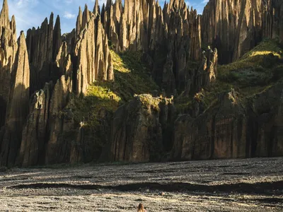
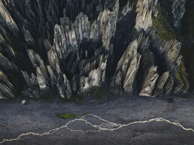
The spires are the result of rain eroding a soft sediment bed unevenly: water carves down through clay and sand, while harder stones and cemented layers on top protect the columns beneath them, leaving needles behind. The same process shapes Valle de la Luna, but here the bed is thicker, so the spires are taller.
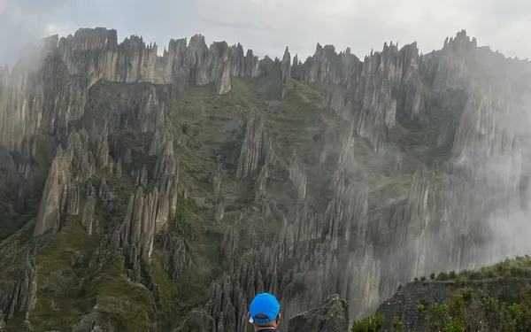
Look for the “hats”: many needles still carry the pebble or hard cap that saved them; when the cap falls, the spire below goes quickly. Nobody has dated the sediment bed precisely — silt, clay and gravel left by ice and rivers long before the city existed — but the spires themselves are young: what you see is the work of roughly 300 to 800 years of rain and wind. The valley is not permanent. It is a snapshot of an ongoing collapse, and it will not look like this forever. The long version: why the spires exist.
How high is it, and will I feel the altitude?
The valley sits at about 3,965 m above sea level — roughly 300 m higher than the center of La Paz and about the altitude of El Alto airport. If you have slept one night in the city you are already most of the way acclimatized; you will feel the extra metres on the climbs, which is why we walk slowly.
First day in Bolivia? Book the afternoon departure, walk slowly, drink water, and tell your guide — we carry oxygen on every trip and we plan the pace around the most tired person in the group, not the fittest. Read altitude in La Paz before you come.
How to get there from La Paz
Three ways: public transport to Chasquipampa — the PumaKatari city bus (3 Bs) to its last stop, or the yellow-line minibus 844 (4 Bs) — then a walk to the chain; a taxi or ride app from the center (60–80 Bs, about 40 minutes); or a tour with pickup at your hotel. The access is not obvious, and most people who go alone lose time finding it.
The full comparison, with the map of the entrance, is on its own page: How to get to Valle de las Ánimas. And the wider picture: getting around La Paz.
When to visit — it is all about the light
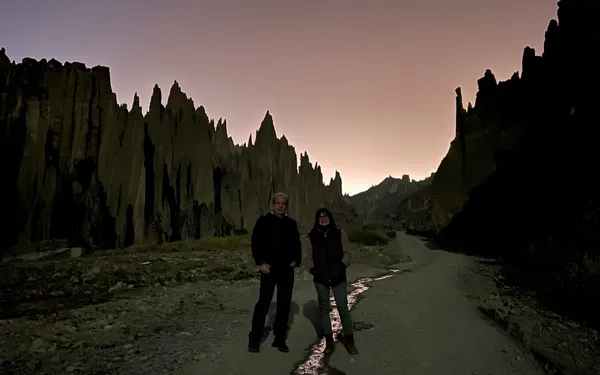
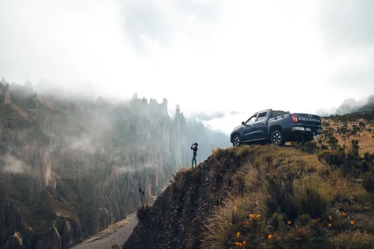
Sunrise for the light, sunset for the experience. At first light the low sun catches every spire and throws long shadows — the best hour for photographs. At sunset the valley turns orange and, from the ridge, you also see the city of La Paz change colour below — that is our sunset tour. At midday the light is flat. The dry season (May to September) gives clear skies and lets us drive right into the middle of the valley; in the rainy season (December to March) we walk in, and clouds drift between the spires — something you do not forget. Sunrise visits are arranged the day before with the family who keeps the chain; private cars do not get in easily at that hour, which is why the sunrise tour exists.
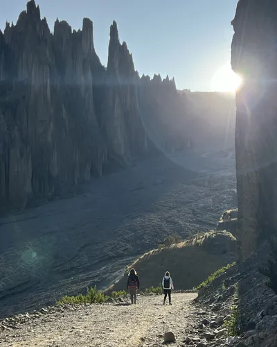
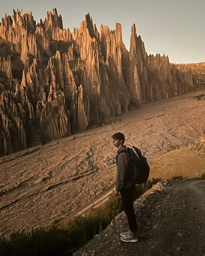
Our sunrise tour exists because of this paragraph. Month by month, hour by hour: When to visit Valle de las Ánimas.
Trails by difficulty
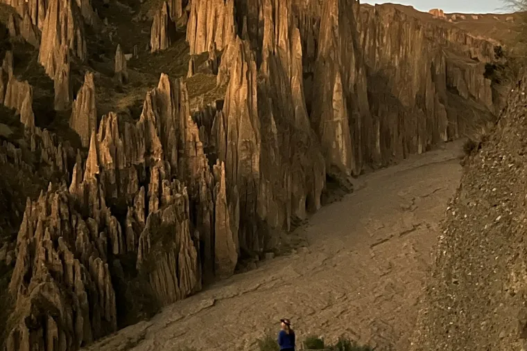
Three ways to walk it. The flat loop at the bottom takes about 20 minutes; the climb to the main viewpoint is about 25 minutes uphill at a slow pace, then the same back down — on our tours the whole walk is 4 to 5 km there and back. The full circuit is about 10 km with 640 m of climb, four to four and a half hours, for people who hike regularly. Each one, in detail: trails by difficulty.
What to bring
Travel insurance — we ask every passenger to have it. Then sun protection, one and a half liters of water per person, closed shoes with grip, and a layer for wind. The sun at almost 4,000 m burns in twenty minutes; the ground is loose and dusty; and there is no shade, no shop and no toilet anywhere in the valley — go before you enter (the nearest one is about 10 minutes away by car). The full list, and why each thing is on it: what to bring · what to bring for the camera.
- Hat, sunglasses, SPF 50
- 1.5 L of water per person
- Closed shoes with grip — no sandals
- Windproof layer (mornings are cold)
- Cash for the entrance
- Camera: wide lens for the spires, long lens for the detail
Valle de las Ánimas vs. Valle de la Luna
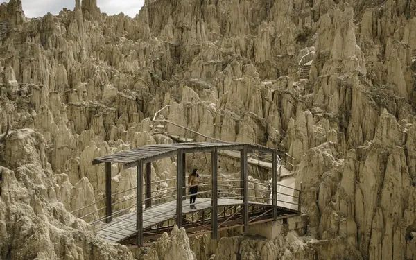
Valle de la Luna is closer, smaller and busier: a 45-minute boardwalk loop next to the road. Valle de las Ánimas is bigger, taller and empty — real trails, real silence. If you have one afternoon, do the Ánimas; if you have twenty minutes, do the Luna. The full comparison.
The extension: Palca Canyon
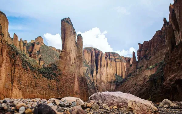
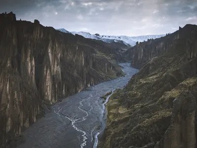
Palca Canyon is the natural continuation of the valley, twenty minutes further by road: a dry riverbed between walls up to 200 m high, with the snow peaks of the Illimani and the Mururata rising ahead. The full canyon runs about 8 km to the village of Palca; our tour walks the best stretch, 40 minutes to an hour, with time for photographs. Combined with the valley it makes a six-hour morning, and it is the walk our guides like most.
We run it as the private Valle de las Ánimas + Palca Canyon tour: sunrise in the valley, then the canyon, about six hours hotel to hotel with the Illimani and the Mururata ahead on the road. It goes through the riverbed, so in the rainy season we only do it when the weather allows. Palca Canyon, in detail.